
Mapping, cadastre and GIS services.
We measure land, parcels and the city in the field and turn the results into accurate, up-to-date maps anyone can use. These maps are also the foundation of the Twinup digital twin.
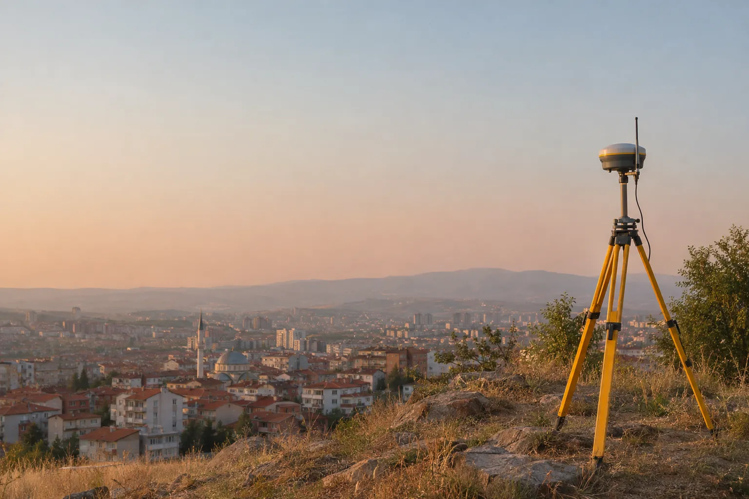
Before you widen a road, lay a pipe or renew a neighbourhood, you need to know exactly what is where. We produce that knowledge: we measure boundaries in the field, record the city with drones and laser scanners, and turn the result into digital maps your institution can use every day.
Road and utility projects
We measure which parcels a new road or pipeline affects and prepare the plans needed for expropriation.
Land titles and ownership
We show parcel boundaries on the ground and prepare the official surveys for splitting, merging and registering land.
An inventory of the city
From street lights to trees, manholes to buildings, you see every asset in the city on the map, with its details.
Geodesy and positioning
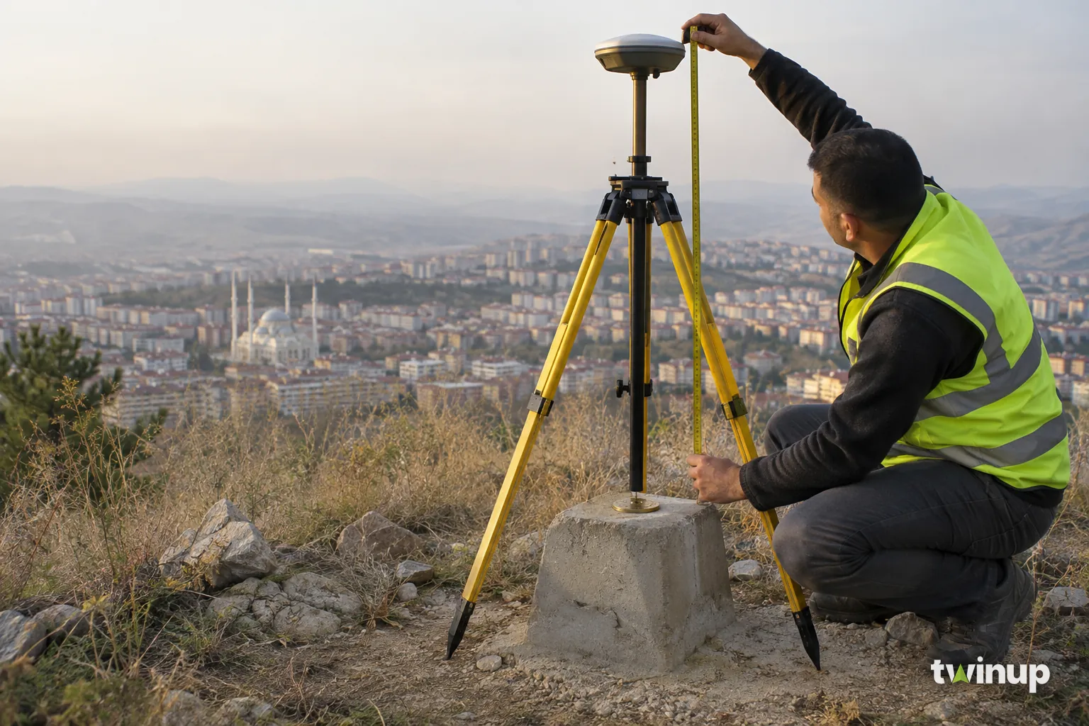
For every survey to fit together on one map, they need a shared reference. We set up these reference points in the field and tie every measurement to the same coordinate system.
- Control pointsWe set up and measure the fixed points that every survey in the project is tied to.
- Precise satellite positioning (GNSS / RTK)Using satellite signals and the TUSAGA-Aktif reference stations, we get positions to the centimetre.
- Coordinate conversionWe convert old maps (such as ED50) to today's systems (ITRF) so they line up with new data.
- Height surveys (levelling)We measure point heights precisely for utility and drainage projects.
Drones, aerial imagery and laser scanning
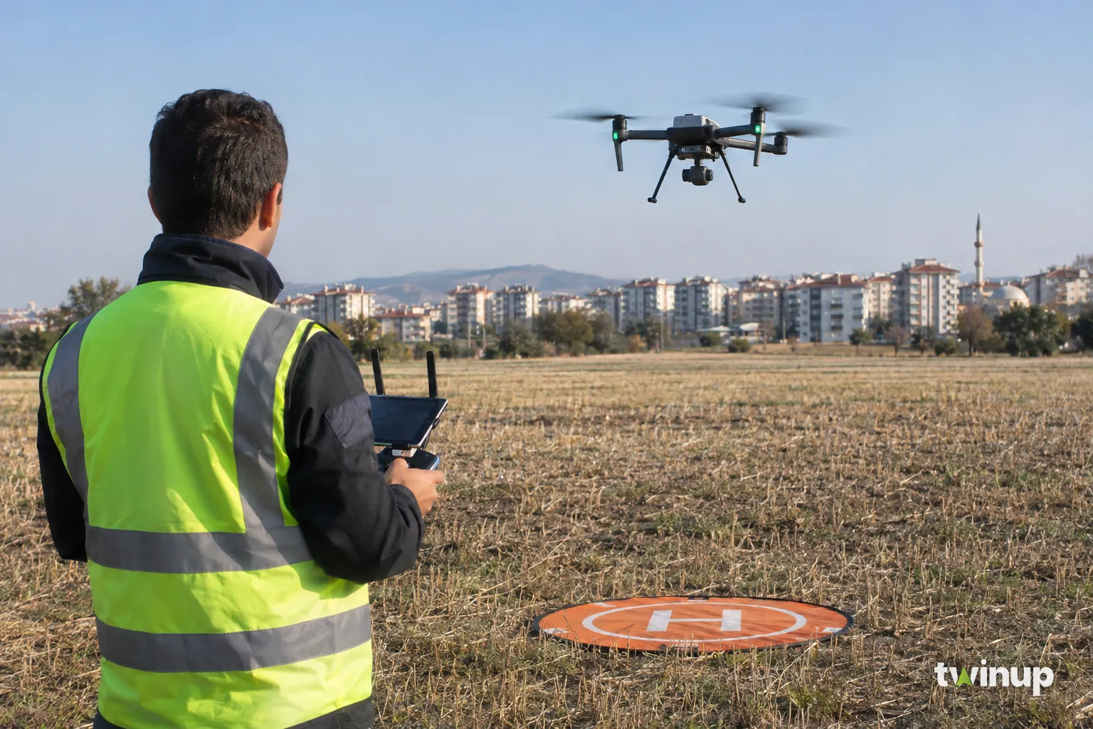
We record large areas from the air with drones and aircraft, and streets from the ground with vehicle-mounted scanners. The photos and laser data become maps and 3D models you can measure on.
- OrthophotosA corrected, to-scale aerial photo: a map you can measure distances and areas on.
- Terrain modelsThe 3D surface of the land (DEM, DTM, DSM) for working out earthwork volumes, slopes and where water will flow.
- 3D city modelsBuildings and streets modelled at their real dimensions (CityGML compatible).
- Laser scanning (LiDAR)We scan façades, roads and wide areas as millions of points, recording structures exactly as they are.
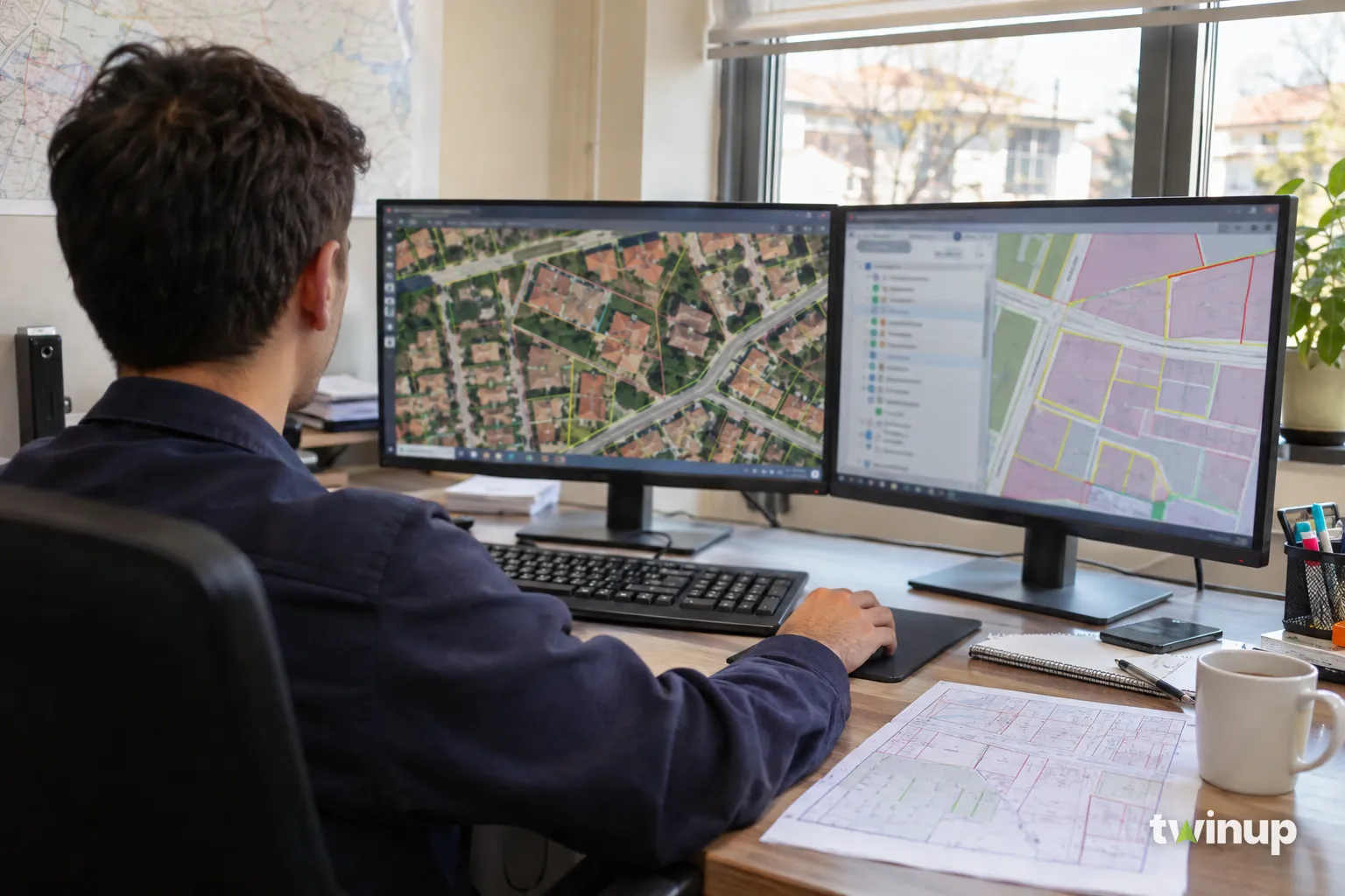
Geographic information systems (GIS)
A GIS is a database that keeps information on a map. We turn the data collected in the field into a GIS your institution uses every day, and open it on the web and in the digital twin.
- Database designWe decide which information goes in which layer, based on how your institution works.
- Digitising old recordsWe move paper map sheets, zoning plans and old files into the GIS and clean up their errors.
- Asset managementYou track assets such as utilities, green spaces and street lighting on the map.
- Web maps and the digital twinWe publish the layers on maps that open in a browser and in the Twinup digital twin.
- 01
Scoping
We look at the site together and agree on the accuracy and outputs you need.
- 02
Fieldwork
Our teams measure with satellite receivers, total stations, drones and laser scanners.
- 03
Processing and checks
We process the data and prove its accuracy by checking it against control points.
- 04
Delivery
We deliver the results in the formats you need and load them into the digital twin.
Every point we measure finds its place in the twin.
The maps, imagery and 3D models we deliver share one coordinate system, so they load into the Twinup platform without conversion and appear on the same screen as the city model, utilities and sensor data.
Explore the digital twin platform →- DWG / DXF
- SHP
- GeoJSON
- GeoPackage
- GeoTIFF
- LAS / LAZ
- CityGML
- 3D Tiles
Get Started
Bring this to your operation.
Tell us about your infrastructure and our engineers will map this solution to your needs.